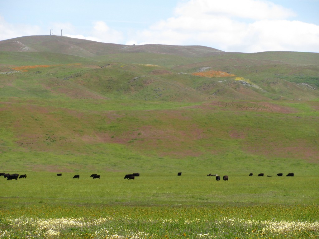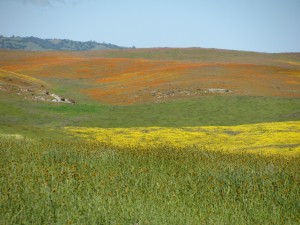
Hwy 41 east of junction with Hwy 46
Still needing time away even after being away for so long. We drifted away for a few days to see if we could find any wildflowers this year. A few years back we saw spectacular multi-color drifts of flowers splashing down the hillsides, but the last few years we saw beautiful rolling hills, but not too many flowers. Too late, I think, or maybe not enough rain.
This year was a great year. We left earlier this week, got back yesterday. Our route was as follows …
Day One: From SF south on 101 to the 25 cutoff to Hollister. Through Hollister and Tres Pinos to Paicines, then down Panoche Rd to Panoche and beyond, on the way to New Idria. We turned back short of New Idria and backtracked to Panoche and a little bit more and took the turn onto Little Panoche Rd past Mercey Hot Springs and on to I5. We turned south on I5 and turned in for the day at a Motel 6 at I5 in Coalinga.
Day Two: Back on I5. Headed south toward Kettleman City. Took Hwy 41 west toward Cholame. Immediately past where Hwy 41 and Hwy 46 meet (the spot where James Dean had his fatal car crash) we took a right (north) on Cholame Valley Road and drove for about seven miles before turning back to the 41/46 intersection.
The best views of flowers for the entire trip were at the turnoff on 41 just above the grade down to the junction with 46 and along Cholame Valley Rd.
We turned right off Cholame Valley Road, onto 41/46, and almost immediately turned left (south) onto Davis Rd, heading toward Annette. We followed Davis Road to Annette and then turned down to where Annette Rd intersects with Bitterwater Road. At that intersection we discovered that the old store that we’d taken photos of last year had fallen to ruin.
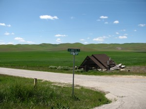
Intersection of Bitterwater and Annette
Headed northwest on Bitterwater to 41/46, then southwest toward Shandon, peeling off onto 46 just before Shandon and continuing on through Paso Robles to 101.
101 N to San Miguel. Mission St. to N River Rd to Indian Valley Rd. Headed N on Indian Valley Rd until it deadended in Peach Tree Rd. Turned left (N). Peach Tree Rd turns into 25 and becomes Airline Hwy. Took a left (W) onto Lonoak Rd and headed into King City. Motel 6 on Broadway in King City.
Day Three: Final morning we headed out of King City, taking 101 north to Greenfield. Took Elm Street west until it became County Road G 16 and then met up with Arroyo Seco Rd. Took Arroyo Seco/G16 west until G16 became Carmel Valley Rd. Followed it up over the hills, through the Hastings Nature Reserve (UC) and on to Carmel Valley then on to Hwy 1 and Carmel.
Took Hwy 1 N through Monterey and Watsonville and Santa Cruz and further up the coast. Turned east on La Honda Road, through La Honda until we hit the Woodside city limits at which point we turned north on Skyline Blvd (Hwy 35) and drove to Hwy 92 and turned east. Took Hwy 35 off Hwy 92 right before Hwy 280 and followed it north until we came to the gates of the country club, headed east again and hooked up with Hwy 280 and trundled home.
I’ll edit this later showing where in the path various photos were taken, but until then, here’s a rough look (with imaginative names like IMG_3828.jpg) of the one hundred photos that most capture what was out in the hills this week.
Central California Hills and Wildflowers. April 2010
Took the Mini, of course.
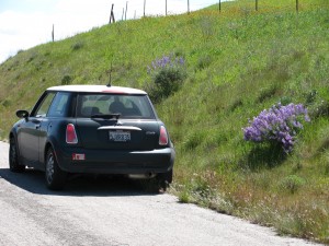
Mini, taking a break whilst driver photographs roadside flowers
